Project Duration : May 2019 – June 2019
About : Sparse Map unlike Dense Map, stores only few good features that can be used for visual localization. It eliminates the dynamic features upon multiple loop closures, and stores only static features. It becomes computationally very efficient to work with Sparse Map instead of Dense Map for Real Time Localization.
Current Status : Working on Optimization in terms of Generation of Sparse Map, adjusting Bundle Size and trying to run it as multi-thread process on GPU instead of CPU.
Project Inspiration :
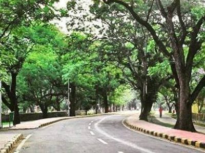
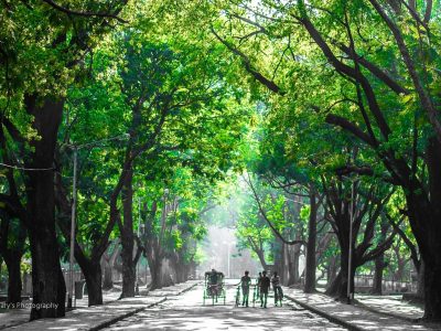
1. The accuracy of even high end GPS module in my campus is very poor, mostly because of densely populated trees in the campus resulting in unavailability of open sky.
2. The Dense Map stores a lot of information and thus using it for vision based localization is computationally extremely heavy.
Goal : To use the Sparse Map of Campus Road for Real Time Vision Based Localization of Ground or Aerial Vehicle using just a single Monocular camera.
The search is based on k-d Tree, For example, let’s say the gps of my car is 20m inaccurate, So the features in the camera frame will be compared to that within 20m radius to provide pin point localization accuracy. This will reduce the GPS dependencies, and the Goal of this project is to use only a Standard Mobile Phone for Accurate Localization of the Car.
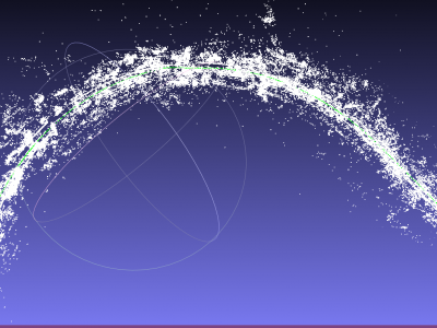
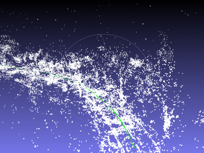
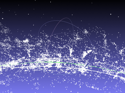
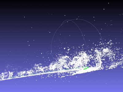
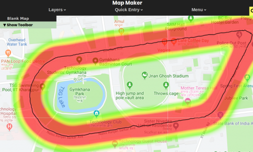
Sparse Map was generated using monocular image data-set of Scholar’s Avenue or 2.2 Road of IIT Kharagpur Campus, using BlackFly Monocular Camera mounted on a Car.
OpenMVG was used to generate the following output.
What looks like noise, are actually tress 🙂
Contact me if you need the Dataset specifying the purpose you want to use it for.

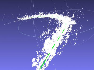
Current Problem : As batch size increases, the time complexity increases exponentially for bundle adjustment, when each feature is checked with all all the previous frames. This problem is being solved using serialization of data and reducing the bundle adjustment batch size. Also, we are trying to implement parallel processing on GPU for the same.
Related :
- Dense Mapping
- Object Sparse Reconstruction and Using RANSAC for Plane segmentation.
